The Crag Next Door
101 climbs · Waterdown, Ontario
Photos




Showing 12 of 32 photos.
Description
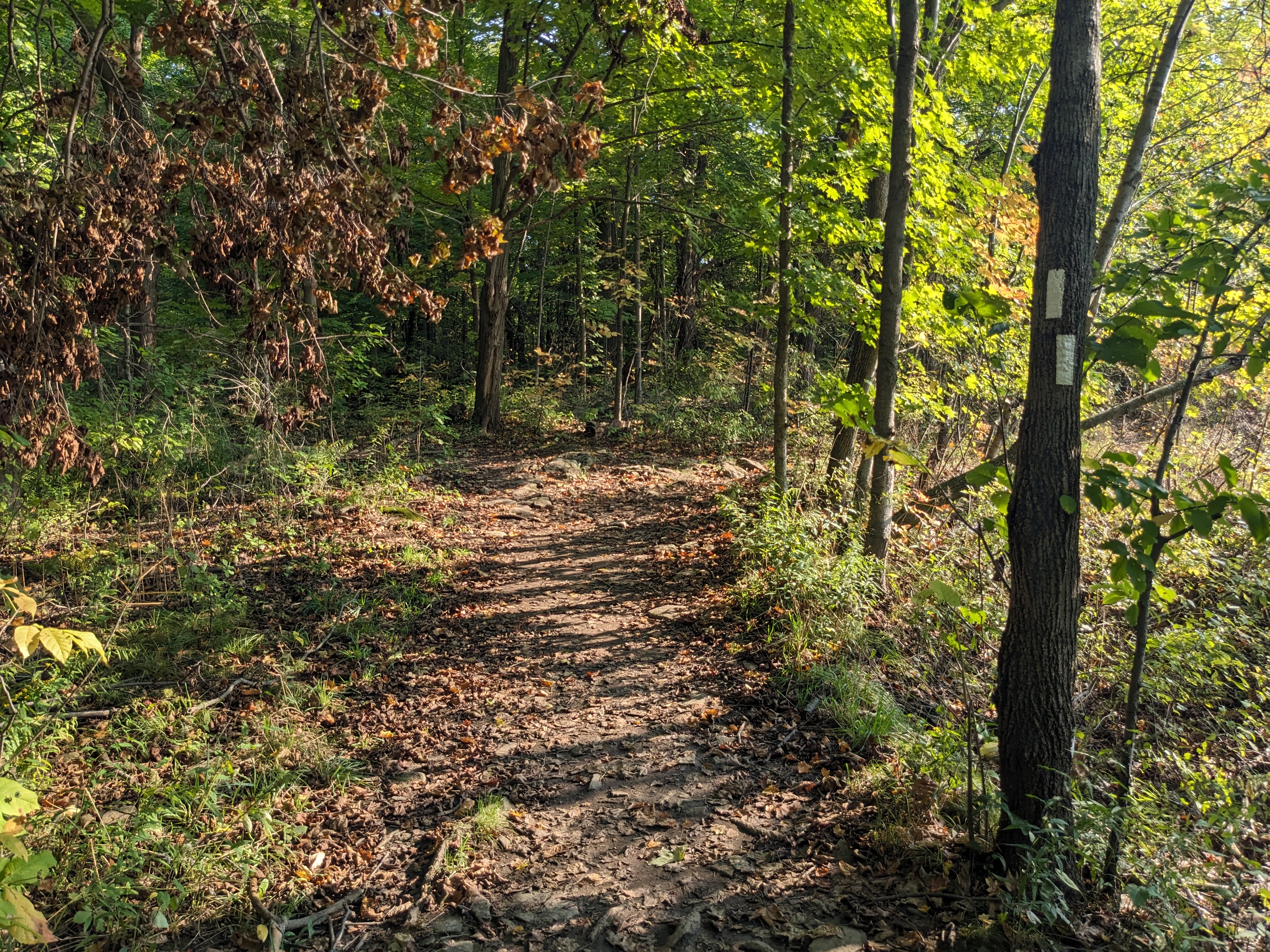
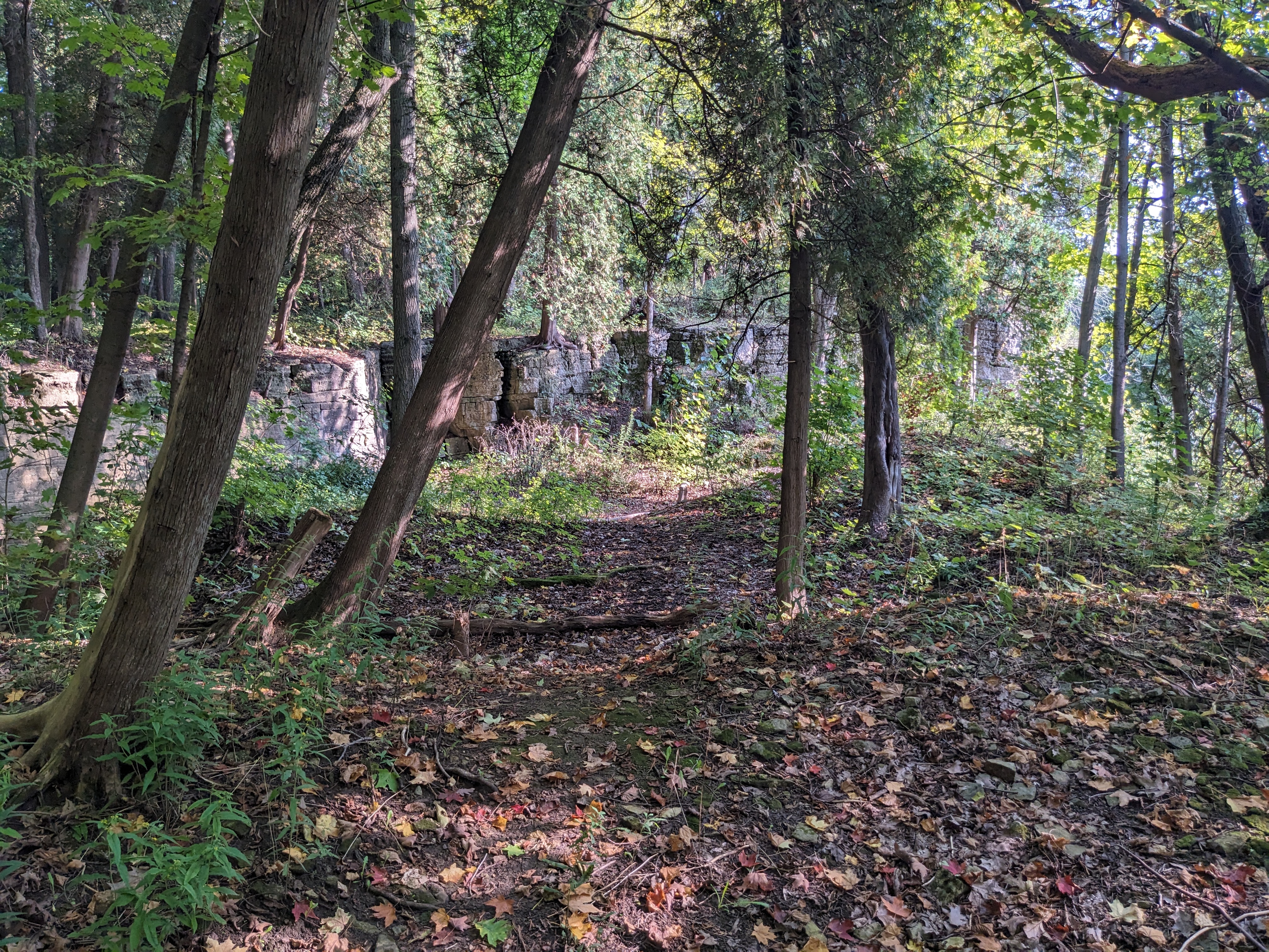
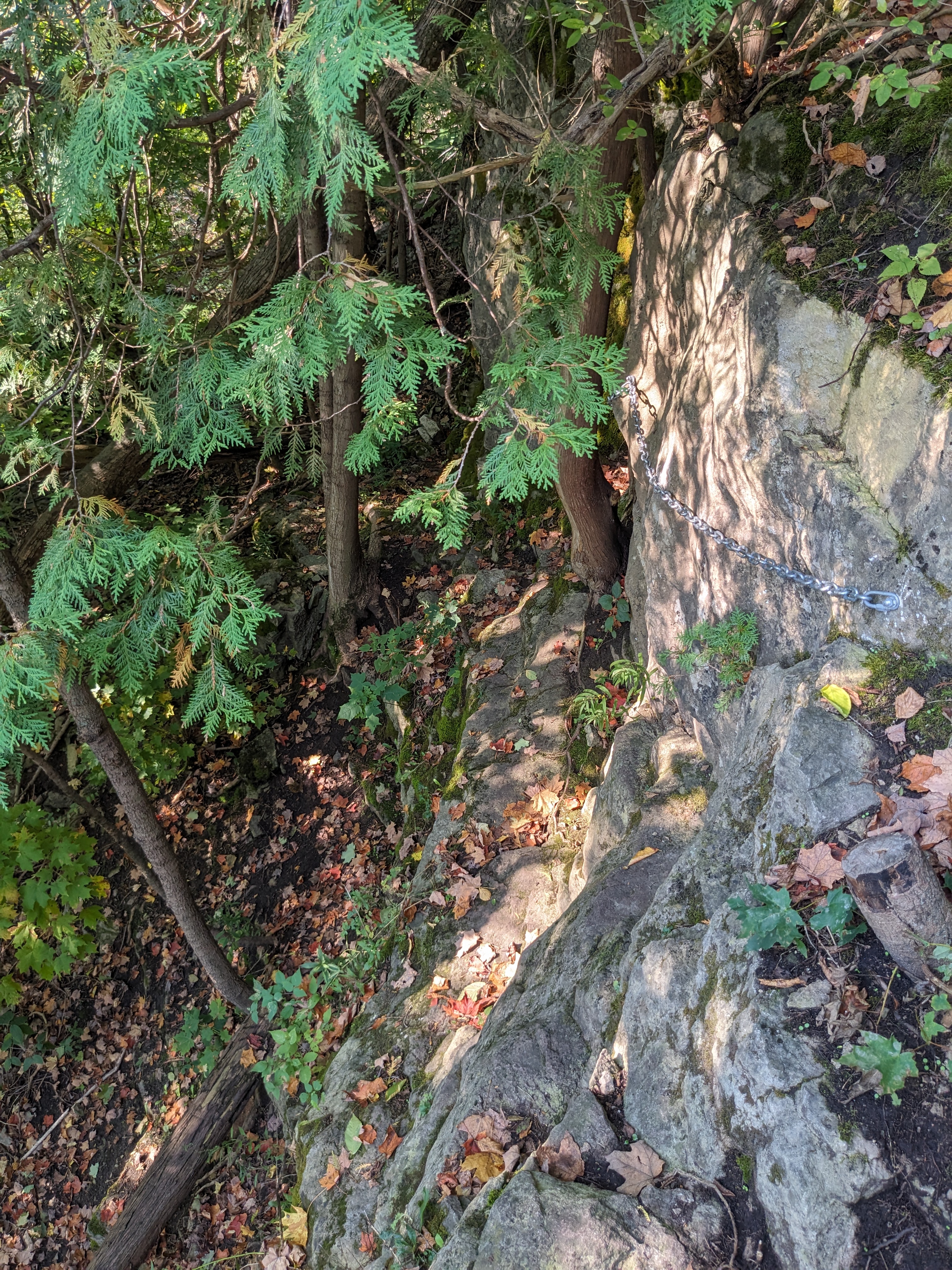
A plentiful new boulder field below a nice cliff. A reasonably tall single-pitch cliff borders one side of the field and is home to 40+ sport routes. Found by Tom and Ben Piche and Danny Plonka. The establishment process is ongoing. Either approach takes roughly 10 minutes from car to descent. The western approach is closest to the [Main Wall](/area/1622628d-f3b7-5fcb-aa19-41558a7a78a8/main-wall) (sport climbing). #### Notes * The _Main Wall_ sub-area lists all of the sport and trad climbing routes. All other sub-areas are boulder collections. * All sport routes (and most trad routes) are documented with topos * Boulder GPS coordinates are approximate — use the guide (linked to below) for reference. ### Eastern Approach (Kerns Rd.) 1. Park in either lot at Kerncliff Park, and walk north on Kerns Rd. up the hill until you reach a suspiciously large cluster of road signs (at 3rd Concession Rd. E.) 2. Continue walking ~20m until you see [the Bruce Trail access on the left](https://media.openbeta.io/u/27339796-f8b5-48ed-b1bf-856dbd5289a2/PdhbbMW9BK.jpg?w=1024&q=75). (GPS: [43.347522° N 79.860731° W](https://www.google.com/maps/place/43%C2%B020'51.1%22N+79%C2%B051'38.6%22W/@43.3474519,-79.8609112,20z/data=!4m4!3m3!8m2!3d43.347522!4d-79.860731?entry=ttu&g_ep=EgoyMDI0MDkxNS4wIKXMDSoASAFQAw%3D%3D)) 3. Head left into the forest, [until you reach a fork in the trail](https://media.openbeta.io/u/27339796-f8b5-48ed-b1bf-856dbd5289a2/tMqWMCbHRp.jpg?w=1024&q=75). This is the King Side Trail. Take the left fork to continue on the Bruce Trail. (GPS: [43.345636° N 79.862336° W](https://www.google.com/maps/place/43%C2%B020'44.3%22N+79%C2%B051'44.4%22W/@43.3456399,-79.8649163,17z/data=!3m1!4b1!4m4!3m3!8m2!3d43.345636!4d-79.862336?entry=ttu&g_ep=EgoyMDI0MDkxNS4wIKXMDSoASAFQAw%3D%3D)) 4. Continue walking until the trail turns to follow the cliff edge. [You should see a side trail branch off to the left](https://media.openbeta.io/u/27339796-f8b5-48ed-b1bf-856dbd5289a2/fNDdDjwbLw.jpg?w=1024&q=75). (GPS: [43.344236° N 79.860939° W](https://www.google.com/maps/place/43%C2%B020'39.3%22N+79%C2%B051'39.4%22W/@43.3442399,-79.8635193,17z/data=!3m1!4b1!4m4!3m3!8m2!3d43.344236!4d-79.860939?entry=ttu&g_ep=EgoyMDI0MDkxNS4wIKXMDSoASAFQAw%3D%3D)) — take this trail and [follow it to the downclimb](https://media.openbeta.io/u/27339796-f8b5-48ed-b1bf-856dbd5289a2/zg6zhcGtpk.jpg?w=1024&q=75). #### At the downclimb - A downclimb rope is available to use at your own risk. After the downclimb you will be at the Warmup Sector. - *Alternatively*, follow the cliff edge until you reach a class 3 rocky scramble down to the base. This puts you at the right-most edge of the [Main Wall](/area/1622628d-f3b7-5fcb-aa19-41558a7a78a8), by [*Welcome Wagon (5.10d)*](/climb/8f753a47-da3f-43b6-811f-e3cc30024f12) ### Western Approach (King Rd.) 1. Park at the [King Road Bruce Trail Access](https://maps.app.goo.gl/QptG6Bn5NsgZHMEXA), there are three parking spots and about 5-6 spots along the shoulder. **Do not park on the road or you will get ticketed**. 2. Enter the forest and [follow the Bruce trail](https://media.openbeta.io/u/27339796-f8b5-48ed-b1bf-856dbd5289a2/Lq8kWhPzWj.jpg?w=1024&q=75) (white blazes.) (GPS: [43.338253° N 79.865950° W](https://maps.app.goo.gl/KZa2nPNPMLpCx5TNA)) 3. After you pass the electrical tower, [take the unmarked side trail on your right](https://media.openbeta.io/u/27339796-f8b5-48ed-b1bf-856dbd5289a2/nHTDNLnztL.jpg?w=1024&q=75). (GPS: [43.338925° N 79.864767° W](https://maps.app.goo.gl/C2SAL5NpgmAngyyE8)) 4. Follow this trail along the cliff edge. This side trail will eventually fold back into the main Bruce Trail — **continue following the cliff edge** until you find a descent into [a lower section of the cliff edge](https://media.openbeta.io/u/27339796-f8b5-48ed-b1bf-856dbd5289a2/NNKTDRTjrc.jpg?w=1024&q=75). (GPS: [43.340917° N 79.862175° W](https://maps.app.goo.gl/Yckn8yujkDFpKwuA6)) 5. The [descent into the sport climbing and cheese area](https://media.openbeta.io/u/27339796-f8b5-48ed-b1bf-856dbd5289a2/KFgj6DHDdb.jpg?w=1024&q=75) is at the far end of this lower section. A strap of webbing is provided, as well as several lengths of chain link bolted along the rock face. Recommend use of a personal anchor during the descent as this is a class 4 descent with or without packs/pads. (GPS: [43.341011° N 79.861883° W](https://maps.app.goo.gl/3eFRTdSKkxPcEs1T9)) #### Resources - [Official Crag Next Door Bouldering Guide (last updated 20 June 2022)](https://drive.google.com/file/d/1ncJ-WYBsgwjqmxRyoKnBMZUMmYlntKWh/view?usp=sharing) - [Google Earth `.kmz` — Boulder GPS coordinates](https://drive.google.com/file/d/1qQGlNtmDq5ipGT-Dynekn-59uUt8aJYV/view?usp=sharing)
Sub-areas (9)
Main Wall
Burlington, Ontario
5.4 – 5.13b · 47 climbs
Mystery Machine
Waterdown, Ontario
12 climbs
Cheese
Waterdown, Ontario
11 climbs
Momma and Poppa
Waterdown, Ontario
10 climbs
K9
Waterdown, Ontario
6 climbs
Hook Area
Waterdown, Ontario
5 climbs
Pride Rock
Waterdown, Ontario
4 climbs
Captain's Prow
Waterdown, Ontario
3 climbs
Warm up
Waterdown, Ontario
3 climbs